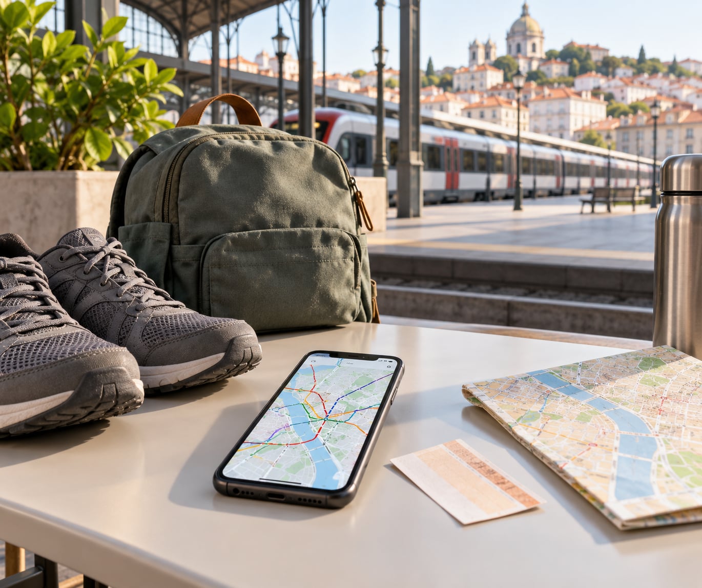
You get around a new city without a car by combining modes instead of picking one: walk the short hops, take a bus, metro, tram or train for the middle of the journey, and use a taxi, rideshare or rental car for whatever is left. Most trips are one walk to a stop, one ride, and another walk at the other end. Learning how to get around a new city without a car takes about ten minutes of setup and roughly one bad mistake to feel confident.
I fly into a new city several times a year and the first hour is always the awkward one, standing somewhere unfamiliar with a bag and no idea which way the river is. What fixes it is boring and repeatable: sort out three things before you leave the airport or station, then treat everything after that as short decisions rather than big ones.
This guide covers the whole sequence, from what to download on the plane to what to do when the ticket machine eats your card at 11 p.m. Last updated for 2026.
Table of Contents
- 1What You Need
- 2Step-by-Step
- 3Start with the neighborhood, not the whole city
- 4Use public transportation for longer distances
- 5Walk when the route is short and safe
- 6Choose a bike or scooter only when you are comfortable
- 7Use taxis and ride-hailing for flexibility
- 8Plan for accessibility, luggage, and late-night travel
- 9Save the plan in your phone and check it before leaving
- 10Common Mistakes
- 11Frequently Asked Questions
- 12Is public transit always the cheapest way to get around a new city?
- 13Is it safe to walk alone in an unfamiliar city at night?
- 14What do I do if my transit card or contactless payment fails?
- 15How far can I reasonably walk in a city?
- 16Can I get around a European city without a car?
- 17When is renting a car actually the better choice?
- 18Start with one simple route and add options
What You Need
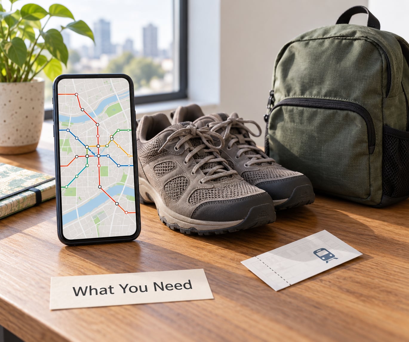
Six things, and four of them take less than five minutes.
A phone with offline maps downloaded. A screenshot of your accommodation’s address in the local language, plus the address in English. Walking shoes you have already broken in, because cobbles and hills are much harder in new trainers. A payment method that works for transit, either a contactless card or phone-pay or a small amount of local cash.
A short list of what you actually want to do, with two or three places on it rather than fifteen. And the transit operator’s own app or website, saved offline. The local operator’s information is the only source that tells you what a ticket costs today, whether the machine at that station takes coins and notes, and when the last service leaves.
If you have mobility needs, a suitcase that will not fit in a rack, or a plan that depends on late-night returns, add one more: check the accessibility page for the network before you book anything. Step-free access varies wildly between neighbouring stations in the same city.
Step-by-Step
Start with the neighborhood, not the whole city
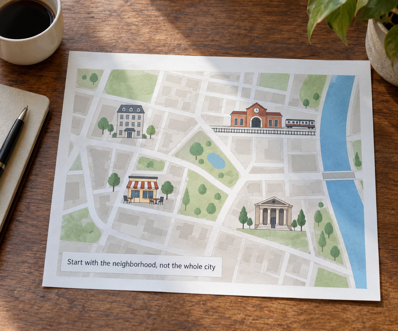
Do not try to learn the whole city on arrival. Learn the six or eight streets around where you are sleeping, because almost everything you do on a short trip happens within a short radius of your bed.
Open your map app and drop a pin on your hotel. Then find the nearest food, the nearest supermarket or pharmacy, the nearest transit stop, and the two sights you booked. Look at the walking times between them. In many European cores those four pins end up inside a fifteen-minute walk of each other, which means you may barely need transport for a whole day. In a spread-out North American city the same four pins can sit an hour apart, and that single fact tells you how your week will work.
The fear of getting lost, honestly, is mostly a fear of not knowing which question to ask. Know the name of your street, the name of your nearest stop, and how many stops from the station your hotel is, and most of the rest resolves itself. People on r/Urbanism and r/transit say the same thing from different ends: the learning curve is about twenty minutes, and it is front-loaded, not ongoing.
Use public transportation for longer distances
Bus, metro, tram and train are the backbone of any city trip, and the cheapest way to cover distance once you have a ticket or pass.
Compare them the way locals do. A metro or subway line usually runs under the traffic and holds its speed, so it wins on a cross-city trip even when the map says it is a longer ride. A tram runs at street level, is slower, but often arrives in the middle of the old town where you want to be. A city bus is the widest-reaching but slowest option, and it is the one most likely to be slow in peak traffic. Commuter and regional trains reach the airport and the suburbs.
Reading a transit map takes thirty seconds once you know the convention: pick your origin stop, find the line you want, follow it to your destination stop, then find the exit or platform number. The line colour, number or letter is consistent across the map, and every line lists its termini so you can confirm you are on the right one.
Buying the ticket is where most visitors lose the thread. A single journey ticket is usually the safest default for a short stay. A day pass pays off once you take four or more rides. A visitor card or tourist pass, sold at airports, major stations or city tourist offices, often bundles unlimited travel with discounts on attractions. If you take two or more children under a certain age, check whether they travel free, because in many cities they do and it changes the maths completely.
Expect a transfer to add five to ten minutes, sometimes more if you have to change platforms, walk a long concourse, or cross the street above the station. Build that into your plan rather than treating it as failure. One reader of a travel newsletter put it well: the trick is scheduling enough slack that missing a connection is an inconvenience, not a crisis.
Walk when the route is short and safe
Walking is the mode that costs nothing, needs no ticket, and gets you the parts of a city a bus route does not serve. It is also the mode people most often overestimate.
A rough rule: under 1.5 km in flat, warm, safe conditions, walk. Under 2 km if you are fit and it is a cool day. Beyond that, or on a hot afternoon in a hilly city, take transport and save your legs for the evening.
Walking time is distance plus crossings divided by a realistic pace. A km takes about twelve to fifteen minutes for most people. Add two minutes for each major crossing, and remember that a river, a rail line or a large park often means a detour that the straight line on the map does not show you.
Check the lighting before you commit. A route that is busy at 10 p.m. but empty at 2 a.m. is a different walk from a lit boulevard, and street lighting, station lighting and park lighting tell you more about a neighbourhood than any travel blog will. If a walk looks wrong at dusk, take the bus and do that route again in daylight tomorrow.
Choose a bike or scooter only when you are comfortable
Bike-share and e-scooter rental are genuinely useful for trips of about two to six kilometres where transit is indirect and walking is too long. They are also the mode most likely to end badly for a nervous first-timer, so decide once, before you are tired.
Before you unlock anything, check three things: whether you can ride a bike in traffic without panic, whether you are comfortable riding on the right or riding on the left, and whether the city treats scooters as vehicles or as pavement clutter. Rules and enforcement vary enormously. In many European cities e-scooters are banned or restricted to bike lanes, with fines for riders, so do not assume your home rules apply.
Wear the helmet the app offers, or bring your own. Do not ride with a phone in your hand. Photograph the vehicle before you start, because damage and parking fees are usually billed to whoever unlocked it last.
If any of that feels like too much, the honest answer is that a bus will get you nearly there. People who cycle a city daily get around faster than transit for short hops, but that is a habit, not a first afternoon.
Use taxis and ride-hailing for flexibility
A street taxi or a rideshare is the most flexible option and the least predictable in price. It earns its place in three situations: late at night when transit has stopped, when you are carrying something heavy, or when a tight schedule makes the transfer time matter.
Street taxis have a meter and regulated fares in most cities, with fixed fares for airport runs in some. The queue is always outside the terminal, and the driver may know a faster route than your app does. Cash is often expected, though card terminals are common at bigger ranks.
Rideshare and taxi apps open the whole thing on your phone, show the price before you confirm, and are the easiest option at 1 a.m. when there is no queue. The trade-offs are a wait time that varies by demand, a surge multiplier at busy hours, and a pickup point that can be a block away from where you are standing. Have the entrance name or the building number ready, and check the plate and the driver’s name before you open the door.
Airport transfers are worth checking both ways before you land. The airport express train or bus is usually faster and cheaper than a taxi on a congested runway approach, and it runs on a schedule you can trust. A taxi wins when you have three bags, a child asleep in your arms, or a hotel twenty minutes away on a bus that runs twice an hour.
Plan for accessibility, luggage, and late-night travel
This is where a car-free plan either holds together or falls apart, and it is worth thinking through before you land.
On luggage: a large suitcase on a metro at rush hour is miserable and often against the rules during busy periods. Many systems offer a luggage rack car, a booking option or a large-carrier allowance, and some cities restrict wheeled bags on escalators entirely. A taxi removes the problem. A bus usually has a low-floor entry but a luggage bay that fills up fast, so check which vehicle your app suggests.
On accessibility: look for step-free access and elevator status per station, not per network. Wheelchairs and mobility scooters have priority boarding and reserved space in most countries, and a seat near a door is usually the polite place to ask for. An accessibility check before booking saves a very bad morning.
On late nights: find out the last departure from each direction, not just from your stop toward your hotel. Many cities run a reduced night service, and a line that stops at 00:30 leaves you looking at a taxi rank. Note down two things before you go out: the last train back, and a taxi or rideshare app you can reach at that hour. Also check whether your hotel is near a night bus or tram route, since that changes the cost of a late dinner entirely.
Save the plan in your phone and check it before leaving
Everything you worked out is useless if the connection drops, and city metro stations are exactly where roaming sometimes fails. Save what matters to your phone: screenshots of the route, the ticket or pass in your wallet, your hotel address and phone number, and the transit operator’s support number.
Then make it a habit to look at the route before you leave the building rather than at the platform. Real-time arrival tracking is excellent in dense European systems and patchy in sprawling North American ones, so where it is thin, use the published timetable and add ten minutes. Checking before you leave is what turns a missed connection into a slower route instead of a problem.
Common Mistakes
Assuming every city works like the last one. Fix: check the fare and payment method for this specific city before you board. A contactless bank card that works in London may be useless in a German city that wants an app or a paper ticket.
Buying the wrong ticket type. Fix: buy a single journey ticket first and upgrade later if it pays off. Day passes usually require validation on older paper systems, so read the ticket before you board.
Missing the last service. Fix: check the last departure in each direction from your destination before you leave a bar or a dinner. If it is before 00:30, plan the ride-hailing option now.
Relying on mobile data. Fix: download the offline map and the transit app at the airport or on hotel wifi, and screenshot the route rather than trusting live lookup.
Choosing the cheapest option with three suitcases. Fix: match the mode to the load. Transit handles luggage badly at peak times, and a taxi fare for a long ride may still beat two taxis to the station plus two back.
Ignoring accessibility until it is a problem. Fix: check whether the stations on your route have elevators or step-free access, and find the bus or tram alternative if they do not.
Getting on a wrong-direction tram. Fix: confirm the line’s termini before boarding, not just the line number. Two trams in the same street can share a name.
Treating a delay as a disaster. Fix: plan a buffer on every transfer, and carry a backup route you know. Slack turns most missed connections into nothing much.
Forgetting the walking route back. Fix: look at the return route at midday, when you can see it, rather than at 1 a.m. when you cannot. A route you walked in daylight is a completely different route after dark.
Frequently Asked Questions
Is public transit always the cheapest way to get around a new city?
Usually, yes, for repeated trips and anything over about two kilometres. Walking is free, and a transit day pass beats four or more single fares in almost every city. Two rideshare trips can cost several times a day pass, so if you plan three or more rides a day, buy the pass. Short hops on foot are cheaper than both.
Is it safe to walk alone in an unfamiliar city at night?
It depends on the neighbourhood, not the city. Well-lit central streets with open shops late into the evening are usually fine; industrial edges and quiet residential backstreets are not. People on Tripadvisor forums describe city transit as unthreatening when they stayed aware of their surroundings. Check the route in daylight, share your location live, and take a taxi if it looks off.
What do I do if my transit card or contactless payment fails?
Go to the staffed booth or ticket office in the station, not the machine, and tell them what happened. Buy a paper single ticket there so you are not fined for travelling without a valid fare. Many cities also sell a physical card or day pass at staffed counters. Photograph the machine error and keep the receipt until you are off the network.
How far can I reasonably walk in a city?
Treat 1.5 km as a comfortable default, 2 km if you are fit and the weather is mild, and beyond 3 km as a reason to take transport. Add time for hills, crossings and detours around rivers or parks. A large suitcase, a stroller or a small child roughly halves the distance you should attempt on foot.
Can I get around a European city without a car?
Yes, and in dense historic cores it is usually the easiest way. Most European city centres have frequent metro, tram and bus service, walkable neighbourhoods and a bike-share system, and the airport is usually on a rail line. The exception is a rural area or a region outside the network, where regional trains run hourly and taxis become the practical answer.
When is renting a car actually the better choice?
Rent when you have a destination the transit network does not reach, such as a village, a trailhead or a rural airport, or when you need to carry bulky items across several towns. A short rental for one day trip often costs less in total than a week of fares plus taxis. Check whether your accommodation has secure parking before you book.
Start with one simple route and add options
Here is the first thing to do, and it takes ten minutes: open your map, pin your hotel, the nearest transit stop, and the one place you most want to see, then work out how you would get from one to the other. That single solved route tells you what a ticket costs, how the system works, and how long a transfer really takes.
After that, keep four options open and switch between them as conditions change. Walk when it is close and lit, take transit when the distance grows, ride a bike or scooter only if you are comfortable, and hold a taxi or rideshare as the answer for late nights, heavy luggage and awkward weather. Learning how to get around a new city without a car is not about committing to one mode. It is about knowing which one fits the trip in front of you, and having the confidence to change your mind halfway.